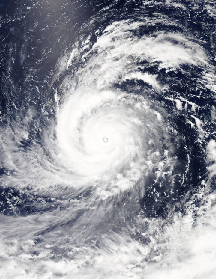
One response to “Super typhoon Soudelor reaches Cat5”
-
Hi there everyone, it’s my first go to see at
this web page, and post is really fruitful in support of me, keep up
posting such posts.
Recent posts
Quote of the week
"People ask me what I do in the winter when there's no baseball. I'll tell you what I do. I stare out the window and wait for spring."
~ Rogers Hornsby
NBC 101 celebrating 10 years of community service
About
A passionate baseball fan blog celebrating America's favorite pastime.
Topics
- Animal Sanctuary
- Animals
- Animals / Wild
- black & white photography
- Bloggers
- Children
- dangerous
- Economics
- education
- Endangered animals / Rescue
- Endangered animals / Rescue
- Entertainment
- Environment
- Events
- Film & TV
- Food
- Getaways
- Global Warming
- hawaii
- Health / Nutrition
- Islanders Ocean Defense Team
- Legal
- life expectancy
- Medicine
- Natural Disasters
- Nature
- News
- Ocean
- Outdoor Sports
- PETS
- Photography
- Poetry
- Poetry
- Product Recalls
- Products & Services
- Quotes
- Random Stuff
- Recipies
- Rescue
- Restaurant Reviews
- Science
- Science / Tech
- Sepia & White Photography
- Sloth Rescue Center/Sanctuary
- Sloths
- Space
- Space
- Sports
- Sports / Outdoors
- Sunsets
- SUSTAINABIITY
- SUSTAINABILITY
- Time
- Travel / Tourism
- Uncategorized
- Updates / News
- Vintage Photography
- Vitality Longevity Performance Stamina
- Weather
- Workouts
- Writers
- Youtube PSY

Leave a comment